HyperAI
Command Palette
Search for a command to run...
Earth Parser Dataset 遥感测绘数据集
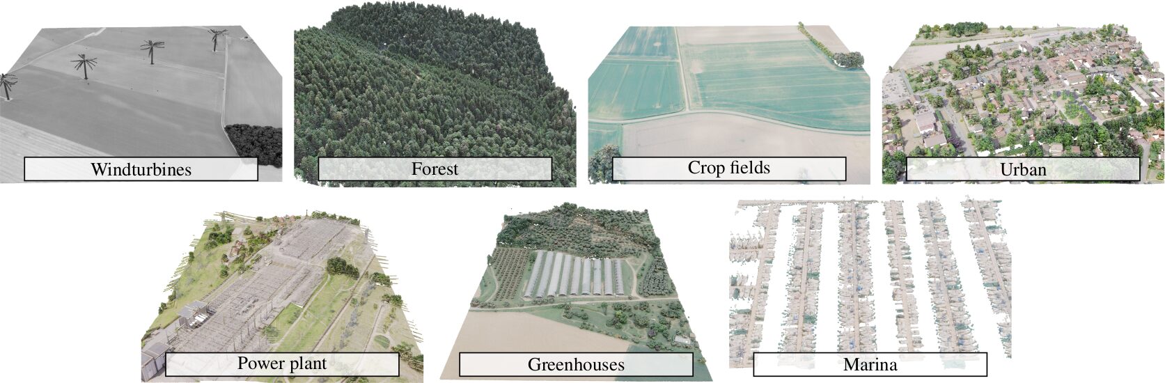
该数据集是一种用于训练和评估大型、未经整理的航空激光雷达扫描解析方法的新数据集,用于训练和评估大型、未经整理的空中 LiDAR 扫描的解析方法。研究团队使用与 LiDAR-HD 项目相关的法国测绘局的数据。该数据集包含 7 个场景,覆盖面积超过 7.7 平方公里,总共 9,800 万个 3D 点,内容和复杂程度各异,例如密集的居住区、森林或复杂的工业设施。 该数据集在论文「Learnable Earth Parser: Discovering 3D Prototypes in Aerial Scans」中提出,该论文已被 CVPR 2024 接受。
Citation
If you use this dataset and/or this API in your work, please cite our paper. “`markdown @misc{loiseau2023learnable, title={Learnable Earth Parser: Discovering 3D Prototypes in Aerial Scans}, author={Romain Loiseau and Elliot Vincent and Mathieu Aubry and Loic Landrieu}, year={2023}, eprint={2304.09704}, archivePrefix={arXiv}, primaryClass={cs.CV} }
EarthParserDataset.torrent
做种中 2下载中 0已完成 218总下载量 309
此数据集由社区用户贡献,仅用于教育和信息目的。如有任何内容涉及版权侵权,请通过 support@hyper.ai 联系我们,我们将及时审核并删除。